Vaishali
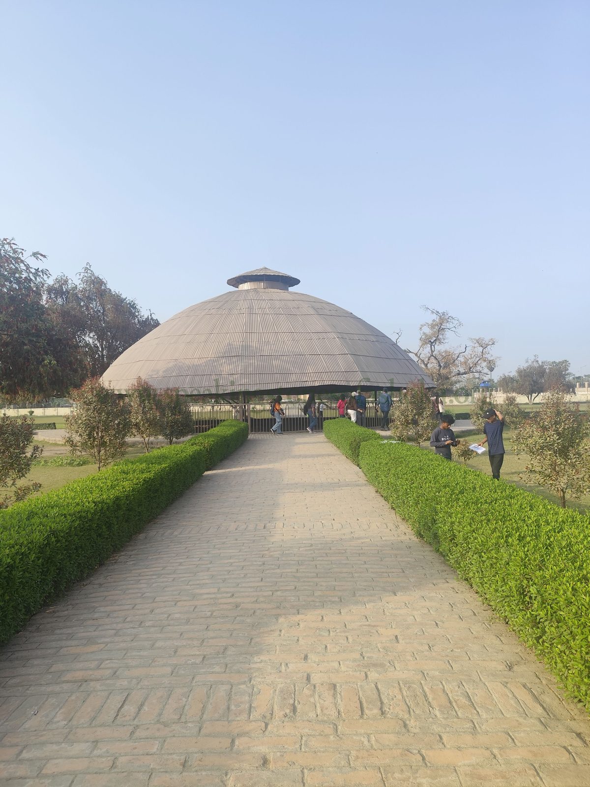
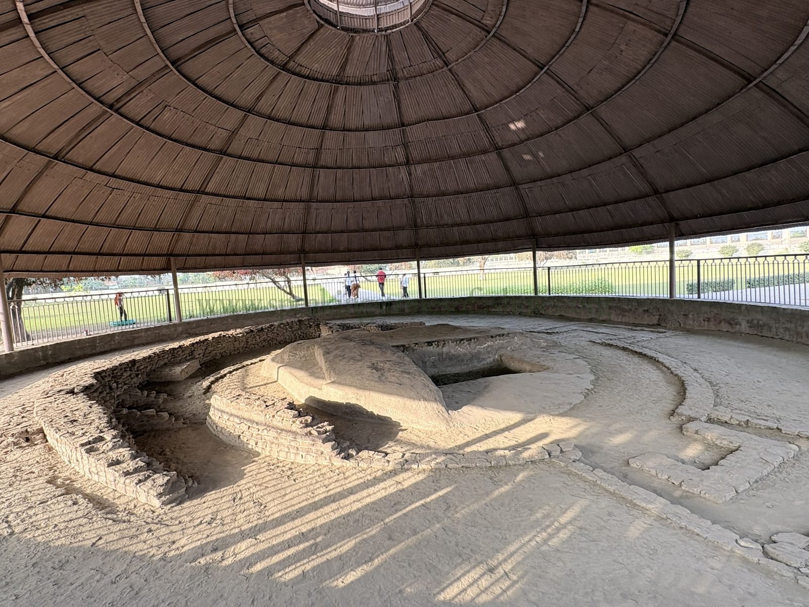
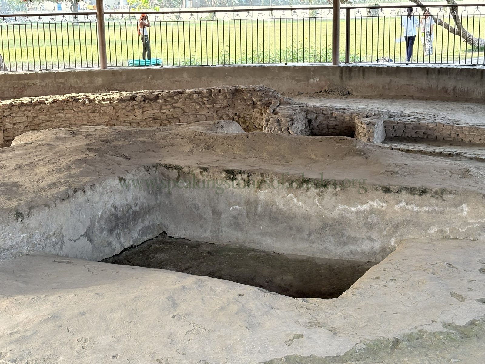
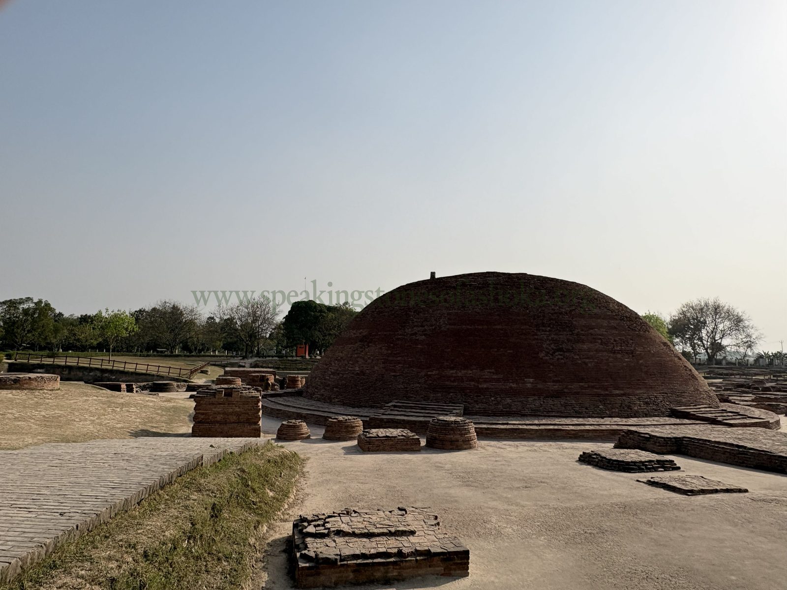
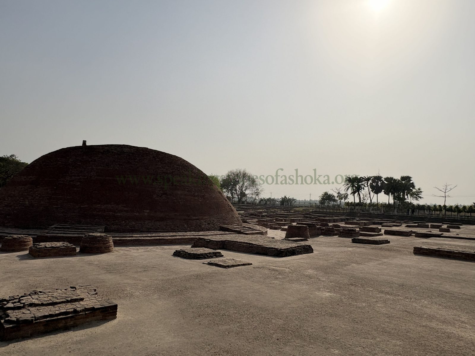
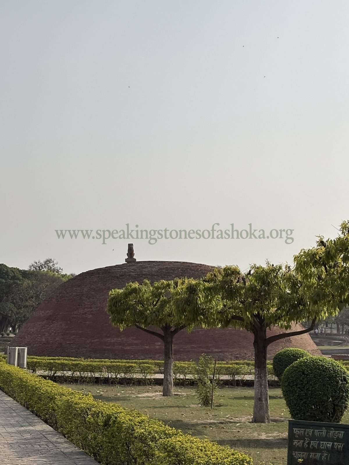
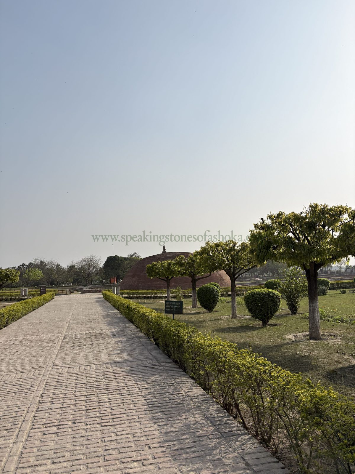
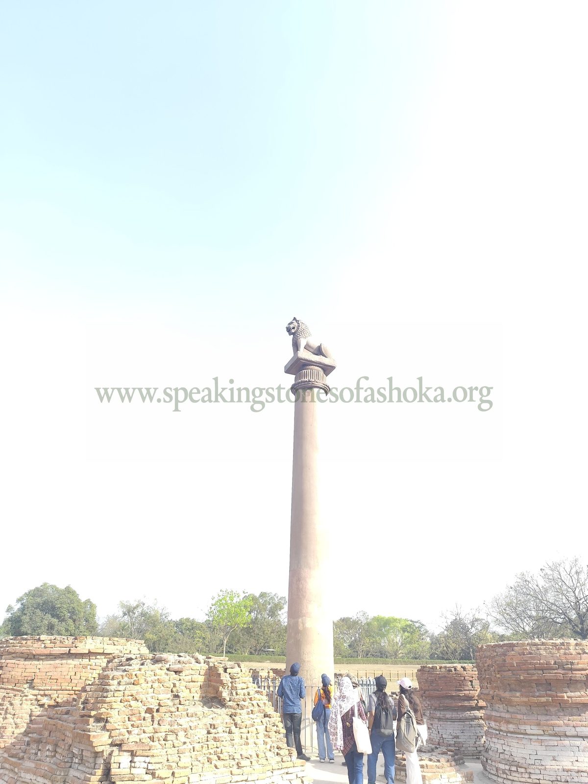
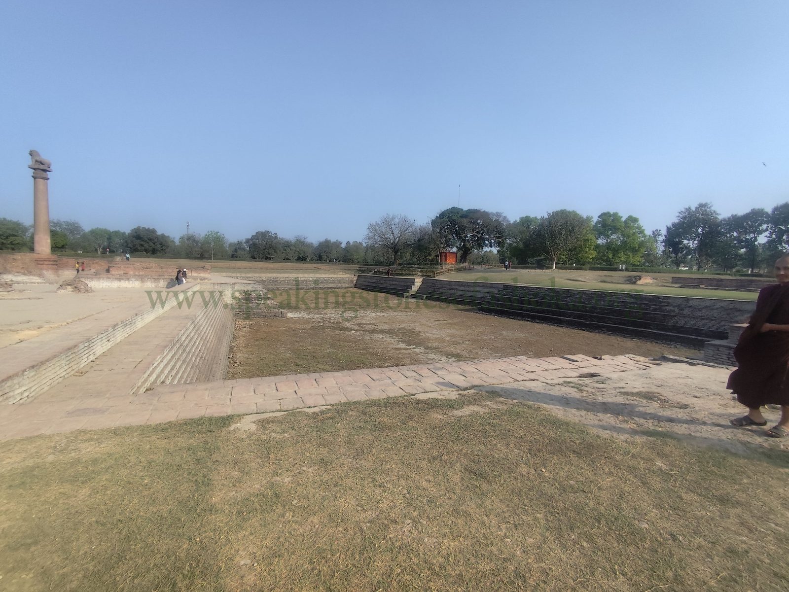
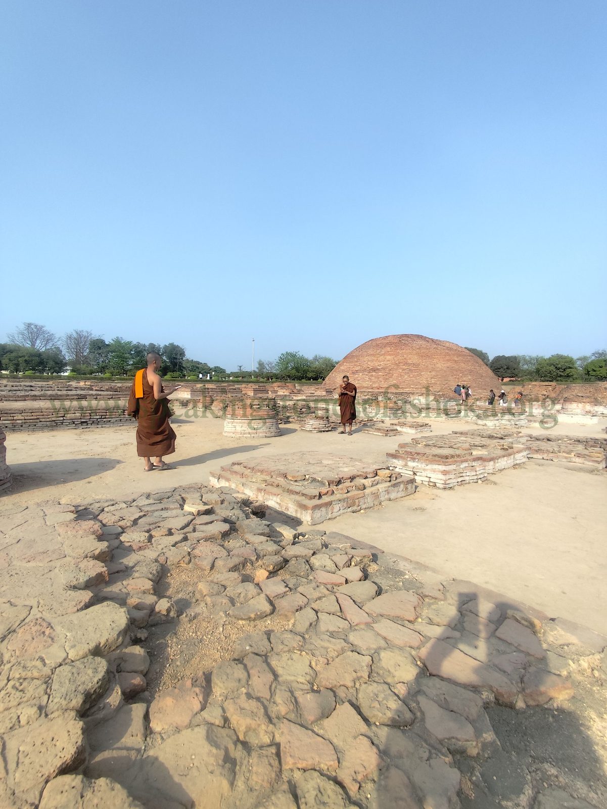
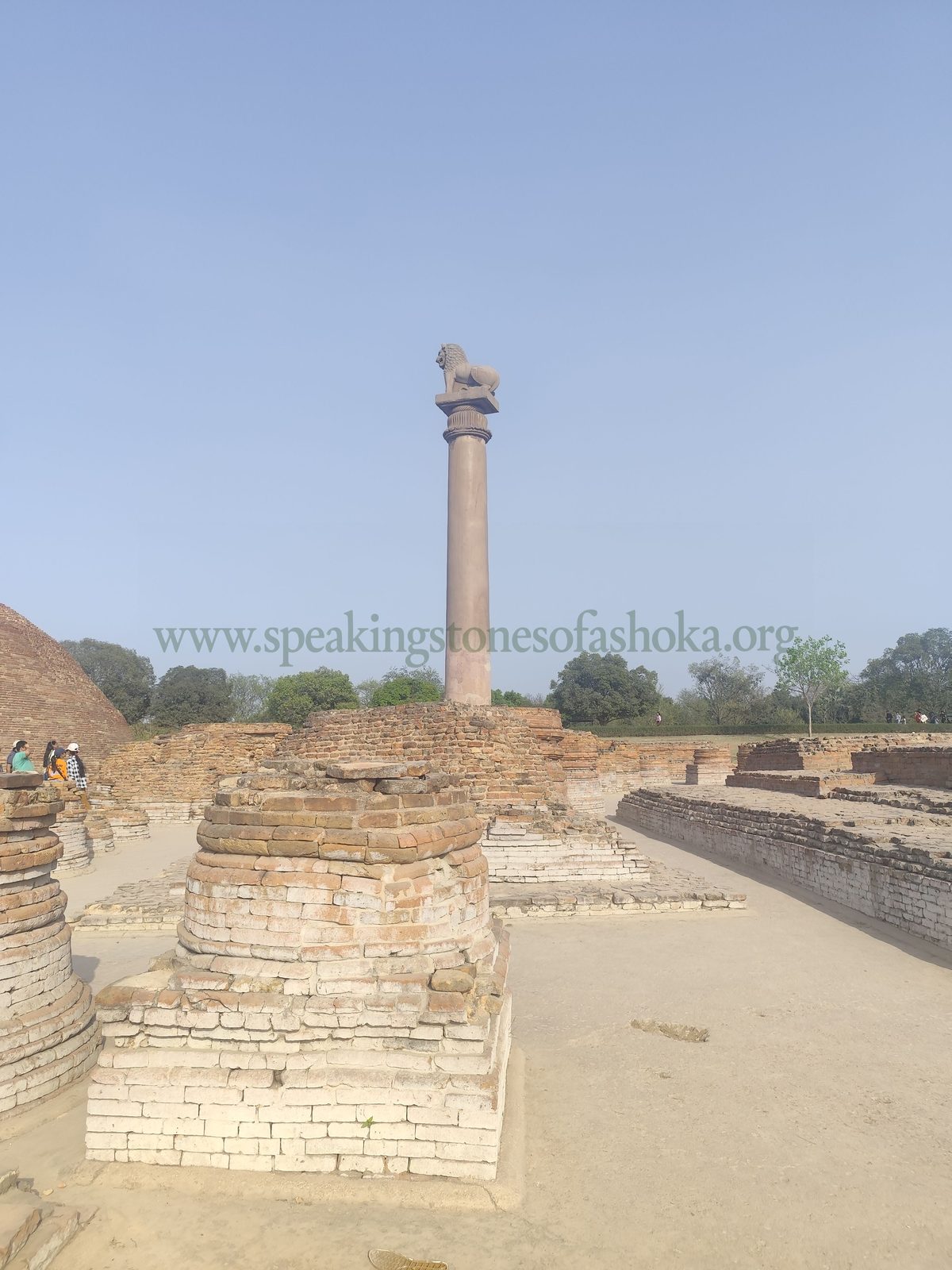
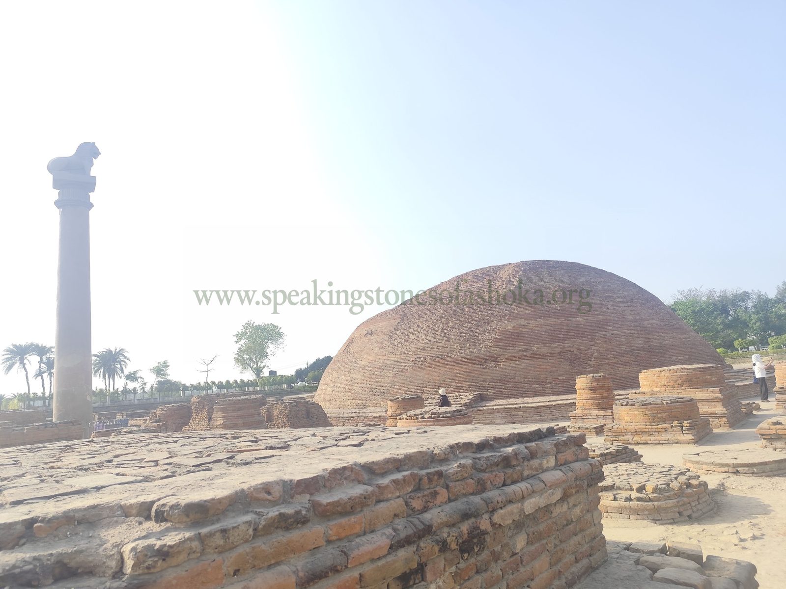
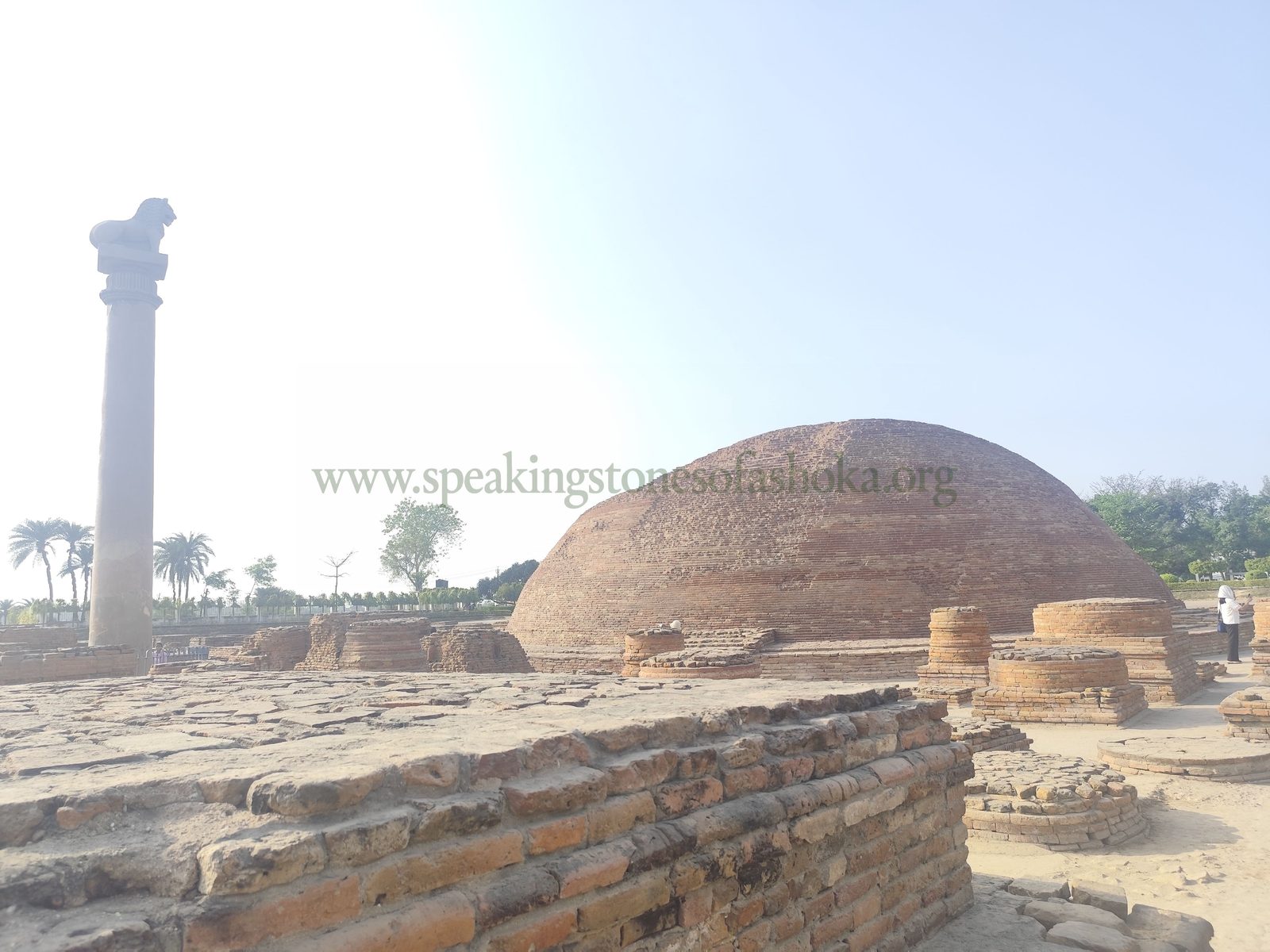
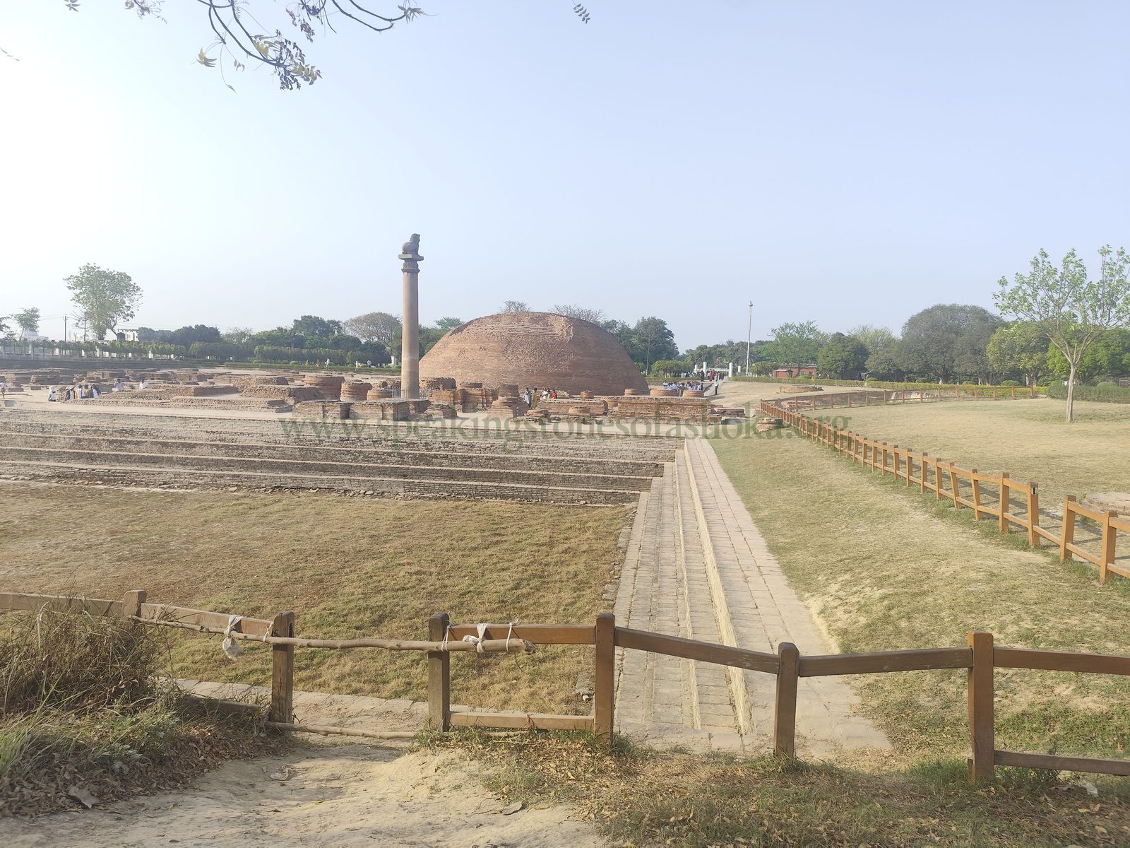
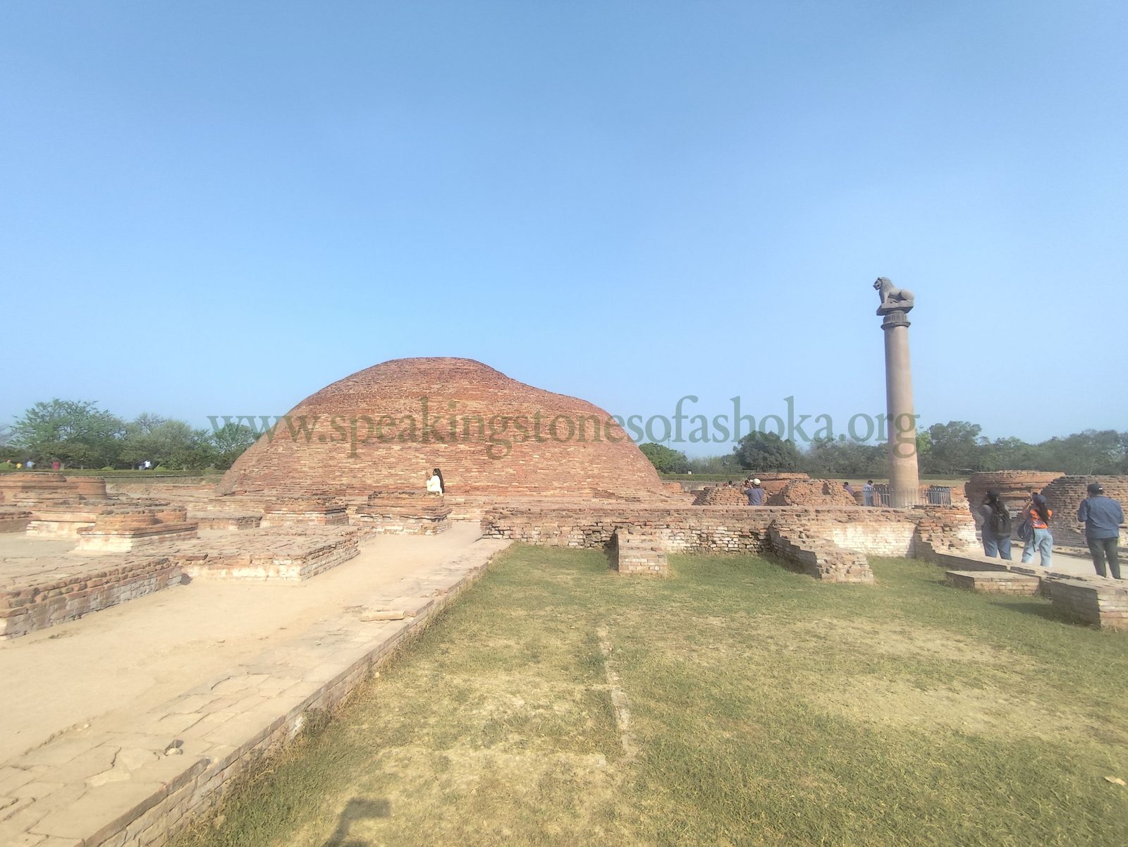
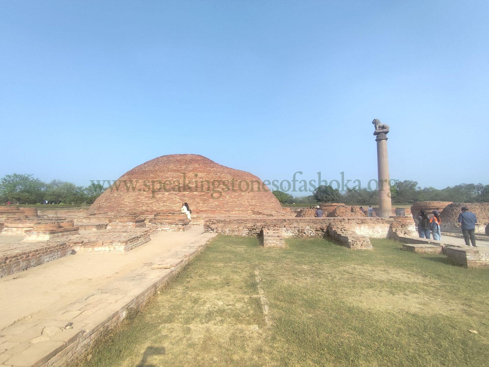
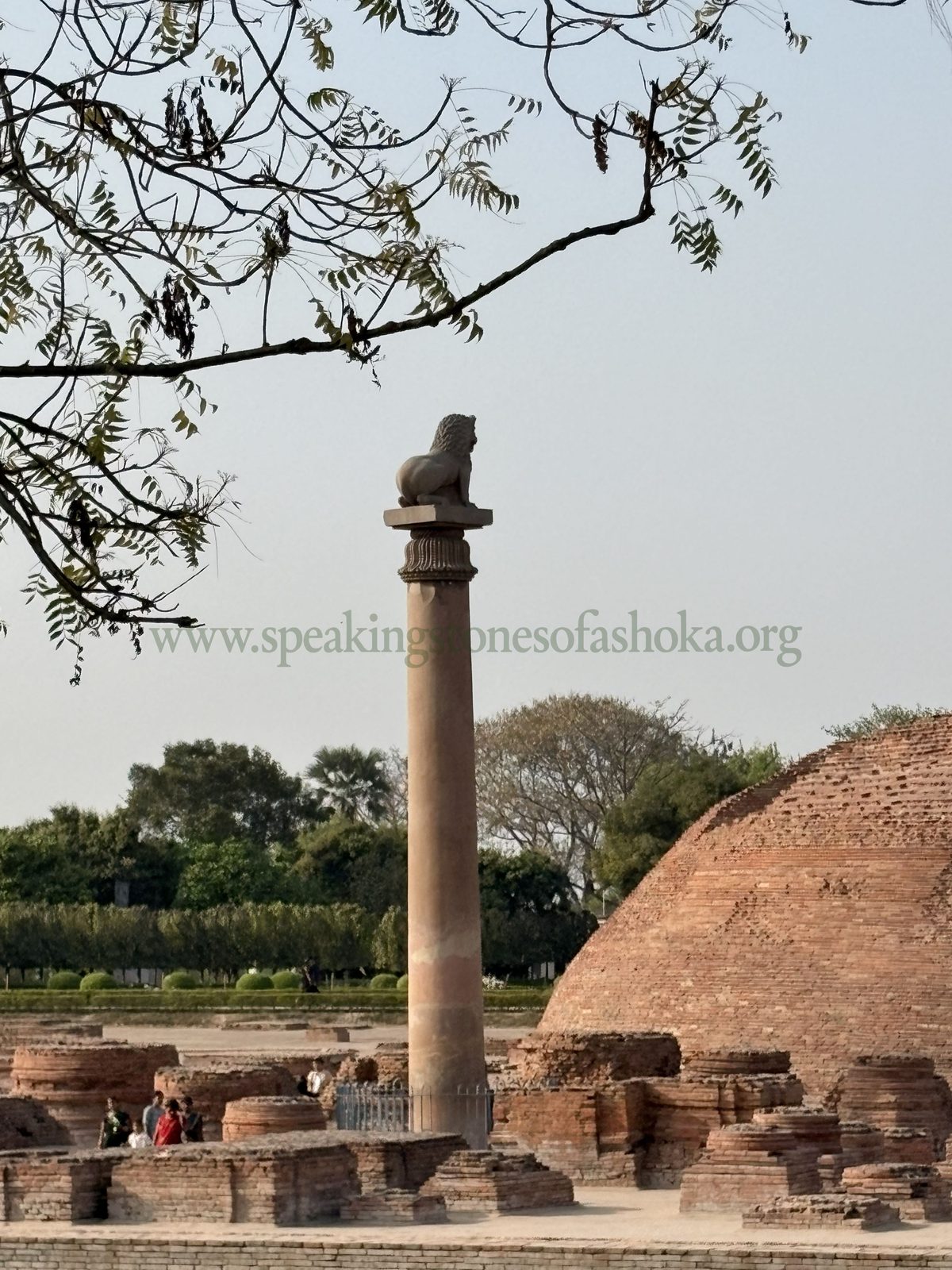
Vaisali is one of the most ancient historic sites in India. As the capital city of a Republic that flourished between the eighth and fifth centuries before Christ, as the birthplace of Vardhamana Mahavira the last Tirthankara of the Jainas, and as the favourite resort of Gautama Bud dha who delivered some of his best-known sermons there, Vaisali enjoyed unequalled prestige and commanded high respect among friends and foes alike. But the indifference and neglect, into which it subsequently fell, constitute an irony of the historical process. For centuries after the Muslim invasion it survived only as a name evocative of romance and glory that seemed almost a myth. The place itself was forgotten and not even identified with the name until the second half of the nineteenth century when Cunningham, and later Vincent Smith, Bloch and Spooner, opened the lid and brought forth evidence to establish its identity. The city was called Visala or Vaisali (lit. 'the Great City'). Two reasons are usually offered for naming the city as such. One is that it was founded by a king called Visala. This is given in Brahmanical literature. The other is that the area covered by the city was very extensive. This is referred to by Buddhist literature. Both the reasons are based on the word Visala from which Visala and Vaisali are derived. There may be other explanations as well which we would like to place before our readers. It might have been so called because of the Vis or Vaisya population of the town also. The Mahabharata (IX. 38.4, 21; XIII. 25.44) knows a Visala river in the locality and that river might have lent its name to the town. In our opinion the sala in the name of the city (Visala or Vaisali) seems to possess some significance and might have some-thing to do with the naming of the city. The Himalayan area adjoining Vaisali and Vaisali itself were full of sal trees and forests. In the Vaisali area there was a forest called Gosingasalavana. One of the names of the Gandaka river, which flows close to Vaisali, is Salagrami, because it passes through village Salagrama (in Nepal) which is so called because of sal forests and the salagrama stones found there. Sala means prakara (wall) also. And particularly in the case of Vaisali we learn in the Jatakas that this city was encompassed by three walls at a distance of a gavuta from one another. It is difficult to say which of these suggestions is (or are) correct. The historical remains of Vaisali, that are spread over a wide area, are mostly in the shape of ancient mounds (stupas) and a few images, the most spectacular of the remains being a lion pillar. They are generally found in villages Kamman Chhapra, Konsa, Basarh, Harpur Basant and Chakramdas of the Lalganj thana of the Hajipur subdivision and Bania, Kolhua, Bakhra and Basukund of the Paru thana of the Sadar (Muzaffarpur) subdivision. Stupas have also been found at the neighbouring villages of Marpasauna and Madhuban. A coin hoard was found at Birpur. There are two mounds quite close to each other, that are locally known as Bhim Sen ka Palla, also called Raja Visala ka Morcha by some. They are ancient stupas of mud, there being no bricks at all. There is a big banyan tree over one of the mounds. Excavations were done here in 1959-60 on behalf of the Kashi Prasad Jayaswal Research Institute, Patna, and some antiquities of minor importance were found. These stupas are believed to be pre-Christian. They are the westernmost remains. The next group of remains (nos. 2-4 below) is half a mile to the east. As we proceed towards the Asokan Column, we first meet on the right hand side of the road a ruined stupa at present only 15 feet high with a diameter of about 65 feet at the base. It is be-lieved to have been erected by Asoka. The bricks used in its construc-tion measure 12 ins. by 94 ins. by 21 ins. Mr. Stephenson, who visited the monuments in A. D. 1835. mentions that the centre of the stupa was excavated (about A. D. 1805) by a doctor who was residing at Muzaffarpur, and that nothing was found inside. On the top of the stupa is a modern brick temple, approached by a long flight of steps on the east, enshrining a well preserved image of the Buddha of the Pala period seated in the thumi-sparsa-mudra under the Bodhi tree and wearing a high crown, necklaces and ear ornaments. It is a well known type exceedingly common among the Buddhist statues of the Pala time in Bihar and frequently met with in the Gaya District. The relief measures 4 ft. 4 ins. by 2 ft. 5 ins. including the pedestal; but the image is not life-size as asserted by Cunningham. On both sides of the Buddha's head are similar seated figures wearing crown and ornaments. Their hands, however, are held in the attitude of prayer. Below each of these smaller figures is an inscription of 2 lines containing the Buddhist creed formula¹, and on the pedestal of the principal image is an inscription of 3 lines in Nagari characters whose English translation is as follows:- "This is the pious gift of the great follower of the Mahayana system called Uchhaha (or Utsaha), the writer and the son of Manikya. Whatever merit there may be in it, let it be for the attainment of unequalled bliss for all the sentient beings beginning with the preceptor, the priest, the parents and himself."The statue was dug out from one of the adjoining fields north of the stupa, where extensive brick remains exist below the surface. Some twenty yards to the south of the ruined stupa, there is the famous Lion Pillar of Asoka. The pillar is situated on the southern half of a large mound some 6 or 7 feet high above the surrounding fields and measuring nearly 1000 ft. from north to south by about 600 ft. from east to west (Cunningham). The mound is entirely under cultivation now; but it is believed to have origi-nally formed a suburb of the ancient city of Vaisali, the remains of which are described by Hiuen Tsiang (Yuan Chwang) as having occupied an area of 10 or 12 square miles. The pillar is a monolith of highly polished sandstone surmounted by a bell-shaped capital supporting a life-size figure of a lion facing the north. The shaft is 21 ft. 9 ins. high above the present ground level of the courtyard where it stands, but a considerable portion has sunk underground. There is no ancient inscription on the pillar. General Cunningham excavated around it in 1860-61 to a depth of 14 ft. below the level of the courtyard without reaching the base or even the rough unpolished portions towards the bottom of the pillar. He found, however, a few short records in the so-called shell-characters engraved on the underground portion of the pillar, from which he concluded that at least another 4 or 5 feet still existed in the subsoil. He also found the column to be some 4 or 5 inches out of plumb and leaning westward. The shaft of the column, 36 ft. in height, tapers uniformly from a diameter of 498 inches at the water level to 38.7 inches at the top (Cunningham). Excavations were also made by Dr. T. Bloch in 1903 to ascertain if any inscrip-tion existed, but nothing was found. The cap of the pillar is of the familiar bell shape, 2 ft. 10 ins. high, surmounted by a plain abacus which serves as the pedestal of a lion, 4 ft. 6 ins. in height, seated on its hind legs with mouth half open as if snarling and with the tongue slightly protruding. Below the conventional lotus decorating the bell are a bead-and-reel design and a fine cable ornament. Above it is a heavy cable necking separating the bell from the abacus, which is quite plain and oblong in shape. The abacus is formed in two steps, the lower one being smaller than the upper, and is about a foot in height. The lion, which faces the north, is perfectly preserved, but its style is some-what stiff and the forelegs are apparently a little too short. The edges of the shaft have chipped off at the top just below the capital. The total height of the pillar is a little more than 30 ft. above the anrface of the courtvard. An octagonal masonry plinth has been constructed around the base of the pillar and the circumference of the shaft immediately above the plinth is exactly 12 ft. The line of pillars in the Muzaffarpur and Champaran districts -at Kolhua, Lauriya-Araraj, Lauriya-Nandangarh and Rampurwa -evidently marks the course of the ancient royal highway from Pataliputra to the Nepal Valley which contains some of the holy places of Buddhism.About 50 feet to the south of the column is a small tank, called Ram Kund, which has been identified by Cunningham with the ancient Markata-Hrada or "Monkey Tank", said to have been dug by a colony of monkeys for the use of the Buddha. Dr. Bloch described the tank in 1903 as "ancient brick-faced", but the brick facing is now all covered with mud (Maulvi Muhammad Hamid Kuraishi), though there is little doubt that it must have measured about 200 ft. by 125 ft. It may be noted that the famous Kutagarasala of the days of the Buddha was situated somewhere near this Markata-Hrada, but no suitable site is available at present for its proper identification. The Lichchhavis of Vaisali claimed a share in the earthly remains of the Buddha after the latter's death at Kusinagara on the full-moon day of the month of Vaisakha (May, 487 B. C.). They got a share which was taken to Vaisali. A cairn was made over the remains of the Exalted One and a feast was celebrated.¹ Hiuen Tsiang, the Buddhist pilgrim from China, who visited this place a little over 1100 years after this event, gives the following account of the Buddha's Relic Stupa erected by the Lichchhavis of Vaisali:- "To the south-east of this last spot is a stupa; this was built by a king of Vaisali. After the Nirvana of Buddha, a former king of this country obtained a portion of the relies of his body, and to honour them as highly as possible raised (this building). "The records of India state: In this stupa there was at first a quantity of relics equal to a "hoh" (ten pecks). Asokaraja opening it, took away nine-tenths of the whole, leaving only one-tenth behind. Afterwards there was a king of the country who wished again to open the stupa, but at the moment when he began to do so, the earth trembled, and he dared not proceed to open (the stupa)."In March, 1958, a flat low stupa was excavated by the late Dr. A. S. Altekar, who identified it with one of the original relic stupas of the Buddha built by the Lichchhavis in the first quarter of the fifth century B. C. The find-spot is in village Harpur Basant and is to the north of the Kharauna Pokhar. Dr. Altekar found that the stupa was repaired four times, the last occasion being sometime in the second century A. D.The site of Raja Visala ka Garh is believed to represent the remains of the fort or palace of Vaisali. It is a large, brick-covered mound of oblong shape, slightly less than a mile in circumference. The longer sides run from north to south, about 1700 feet, and the shorter ones from east to west about 800 feet, while the average height of the ruins is some 8 feet above the surrounding fields. Originally the place was surrounded by a ditch, now largely silted up and almost entirely under cultivation. General Cunningham gives the width of the ditch as 200 feet; but at present its width is not more than 125 feet. About the middle of the south side of the garh there is a broad embankment across the ditch which, appa-rently, marks the site of a high road leading to the fort. The site was partially examined by General Cunningham in 1881 in the hope of finding some portions of the masonry ramparts of the fort, but no traces of any walls were disclosed. However, he discovered (1) a square copper coin cast in a mould and show-ing an elephant, tree and other symbols in relief, and (2) an inkstand of burnt clay relieved with a large trisula and bearing a short inscription reading Sri Vidasatya (probably the name of the owner) in Gupta characters. In 1903-04 Dr. T. Bloch of the Archaeological Department of the Government of India made excavations at eight different points on this ancient site. Remains of masonry buildings were revealed at almost every place. Some of the walls found there were looked upon by Dr. Bloch as the remains of ruined buildings seen by Yuan Chwang in the seventh century, though there was evi-dence (of seals, etc.) to prove that they went back to at least A. D. 300 if not to still earlier times. These remains represented the foundations of old secular buildings. Ashes and small fragments of burnt wood were discovered on all sides showing that the place had probably been sacked and plundered in later times. A number of terracotta figures of inferior technique and a few pieces of pottery were also found. But the most interesting find made at the excavations consisted of some 720 pieces of clay bearing impres-sions of more than 1100 seals. Almost all of these seals were discovered in a single small room. They were originally attached to letters or other documents and belonged some to officials and some to private persons, generally bankers, merchants and traders, many of whom were members of mercantile guilds. All these seals belonged to about the fourth or fifth century A. D. and the ancient name of "Tirabhukti" occurred on two of them. But though Dr. Bloch had found a maze of walls, he had not been able to discover any traces either of the masonry ramparts of the fort or of the Royal Palace. It was consequently decided in 1912 that Dr. D. B. Spooner, then Superintendent of Archaeo-logical Survey in the Eastern Circle, should carry out excavations at Basarh on a more extensive scale. Dr. Spooner carried out his work in 1913-14. No monumental remains of any remote antiquity were, however, found underneath Dr. Bloch's diggings. About 250 inscribed clay seals (a few of them being ascribable to about the third century B. C.), a few coins and some well-preserved terra-cottas were, indeed, the only important finds of the season's work. The discovery from Basarh of older seals and terracottas as well as of the punch-marked coins and the fragment of stone with Mauryan polish-all of which can, with more or less precision, be ascribed to about the third century B. C. is conclusive proof of the place having been in occupation during the Mauryan period. The coins and almost all the terracottas and other minor antiquities recovered at Basarh by Dr. Spooner were transferred to the Patna Museum on loan from the Government of India, those discovered by Dr. Bloch having been previously deposited in the Indian Museum, Calcutta. In February 1950 the Vaisali Sangha, a premier cultural orga-nisation of Bihar founded in 1945, carried out excavations at Basarh (Raja Visala ka Garh or the Garh area) and Chakramdas with the permission of the Government of India and with the help of their personnel under the direct supervision of Mr. Krishna Deva, then Superintendent of Archaeology of the Eastern Circle (Patna). Remarkable finds of all varieties were discovered. A detailed report has since been published. Mr. Deva inter alia says (p. 3) that the period c. 500-300 B. C. "was encountered only on the site of Chak Ramdas", the period c. 300-150 B. C. "marks the earliest occupa-tional phase in the Garh area and the latest at the Chak Ramdas site", the period c. 150 B. C. to 100 A. D. "marked a phase of affluence and artistic activity on the site" and adds (p. 5) that "The Garh area was deserted after the Late Gupta Period, i. e., in c. 600 A. D., whereas the Chak Ramdas site appears to have been deserted. in c. 150 B. С." Excavation at Vaisali was resumed eight years later in 1957-1958, this time under the auspices of the Kashi Prasad Jayaswal Research Institute (Patna), a Government body, and was carried on for five years under the Directorship of Dr. A. S. Altekar, succeeded by Dr. K. K. Datta.
Gallery